Current Projects
Investigations of the past reveal new facts that facilitate our understanding of this nation’s beginnings.
On This page
Ongoing Projects
The restoration and preservation of Williamsburg began in 1926 and has been ongoing ever since. Explore some of the projects currently underway.
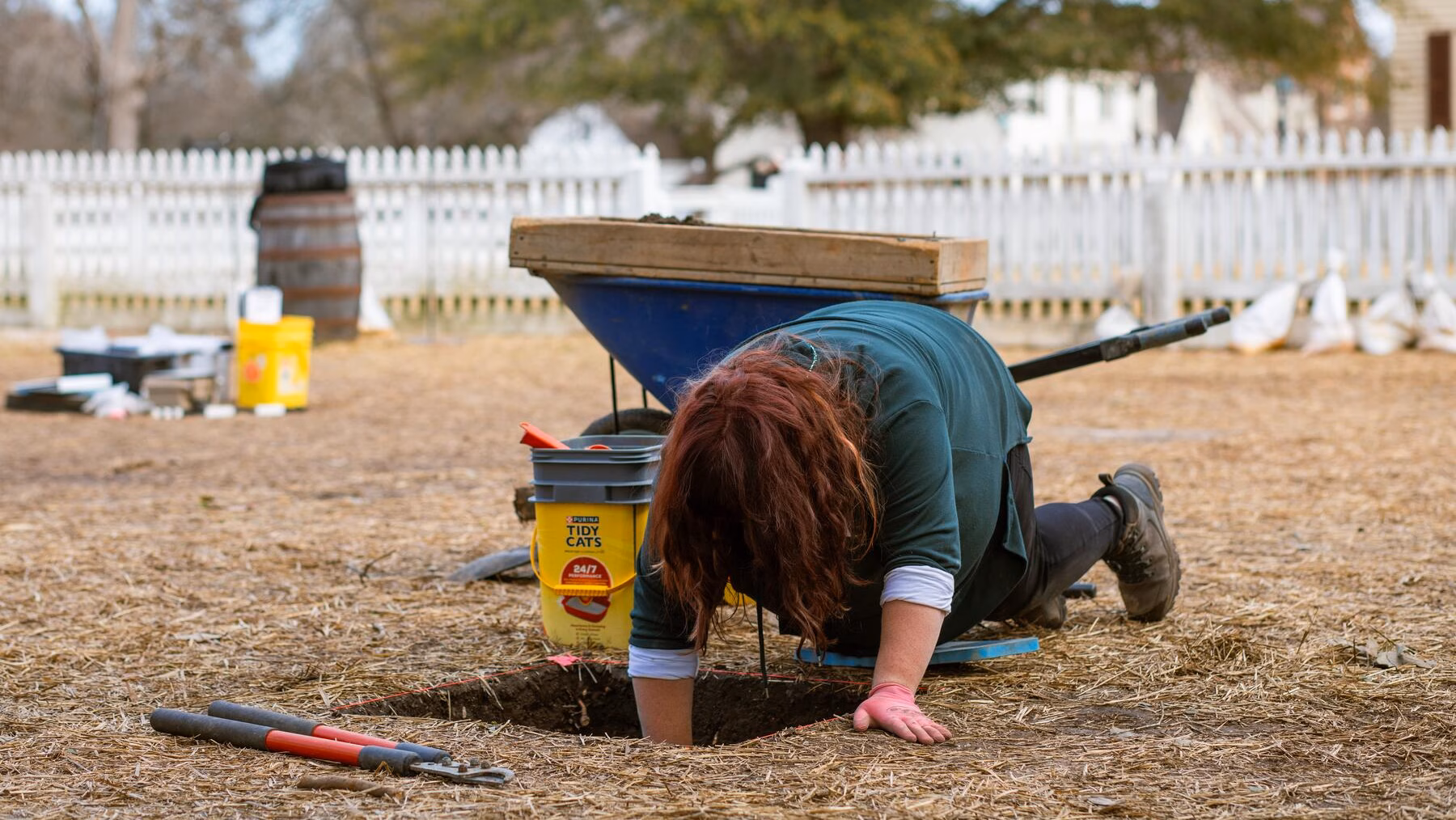
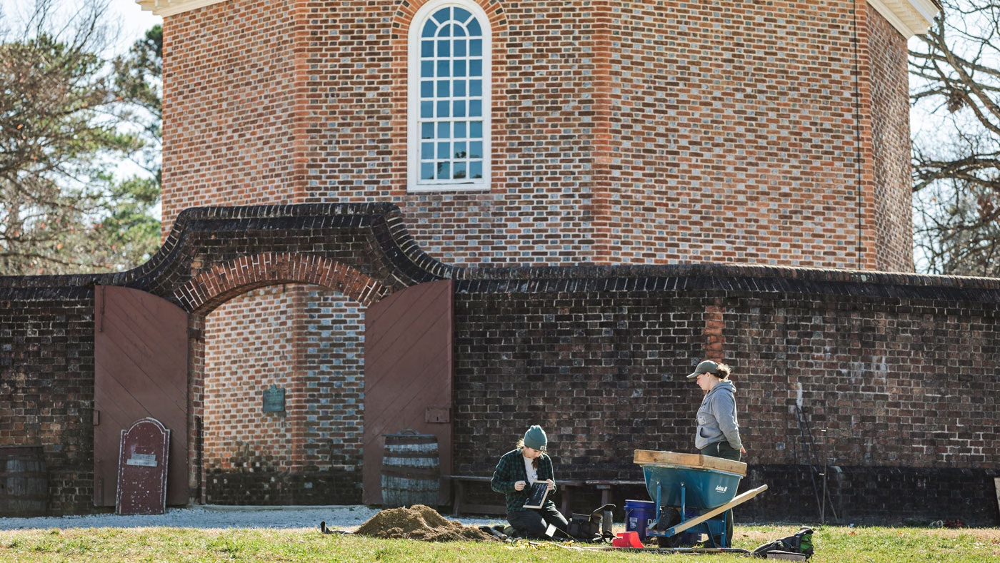
Archaeology Projects
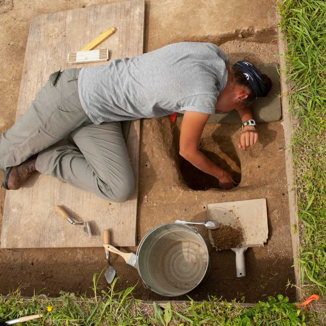
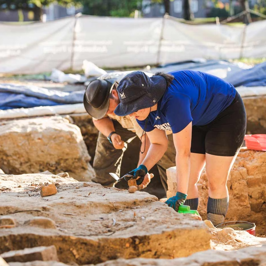
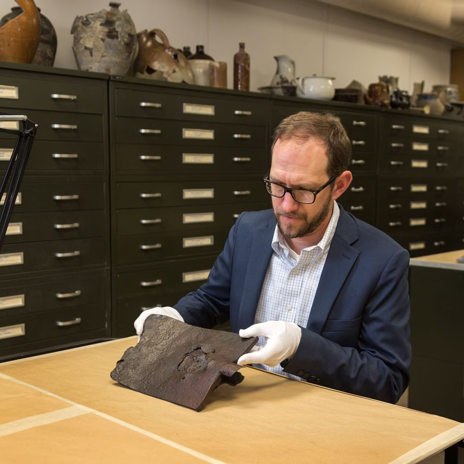
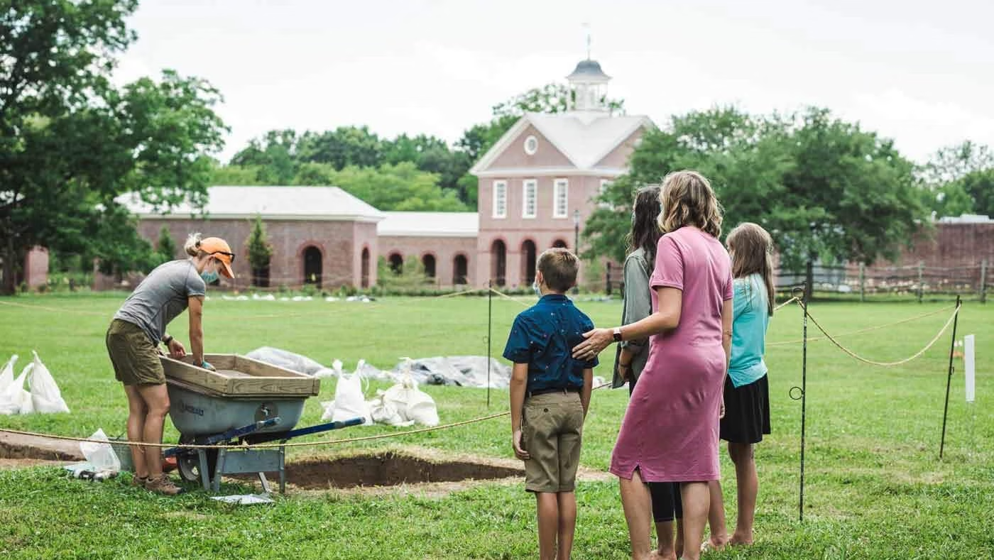
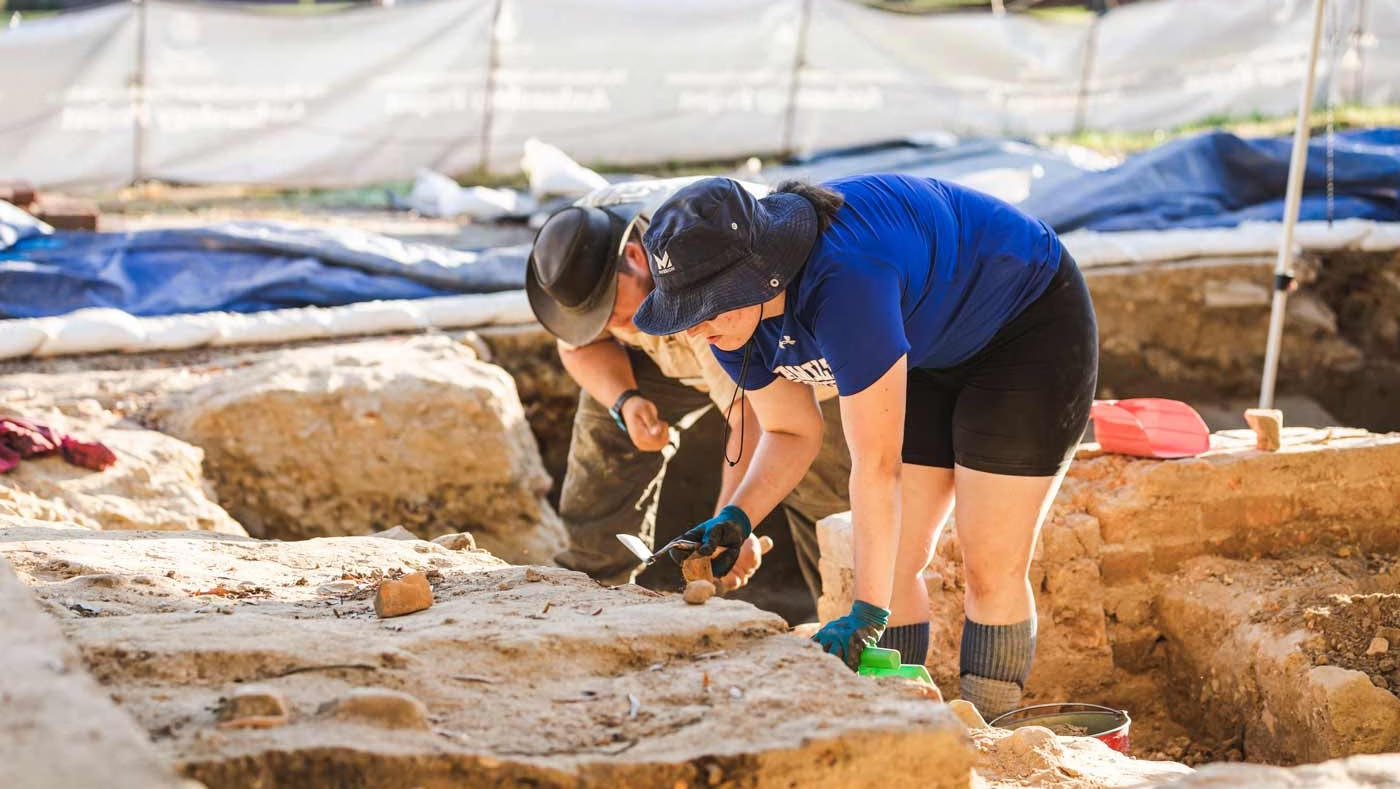
Did you know that excavations are happening behind the scenes too?
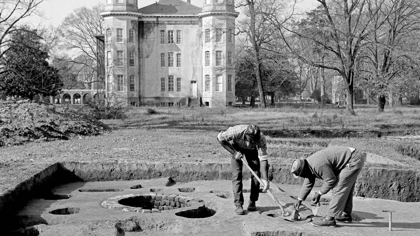
Each time Colonial Williamsburg’s historic landscape is modified, whether it’s to make way for infrastructure improvements or for the placement of a new interpretive experience, our archaeologists are working to ensure that archaeological resources are identified and preserved. The next time you visit Colonial Williamsburg, keep an eye out for archaeology in unexpected places and, in the meantime, take a sneak peek at some of our ongoing projects below!
Ongoing Projects
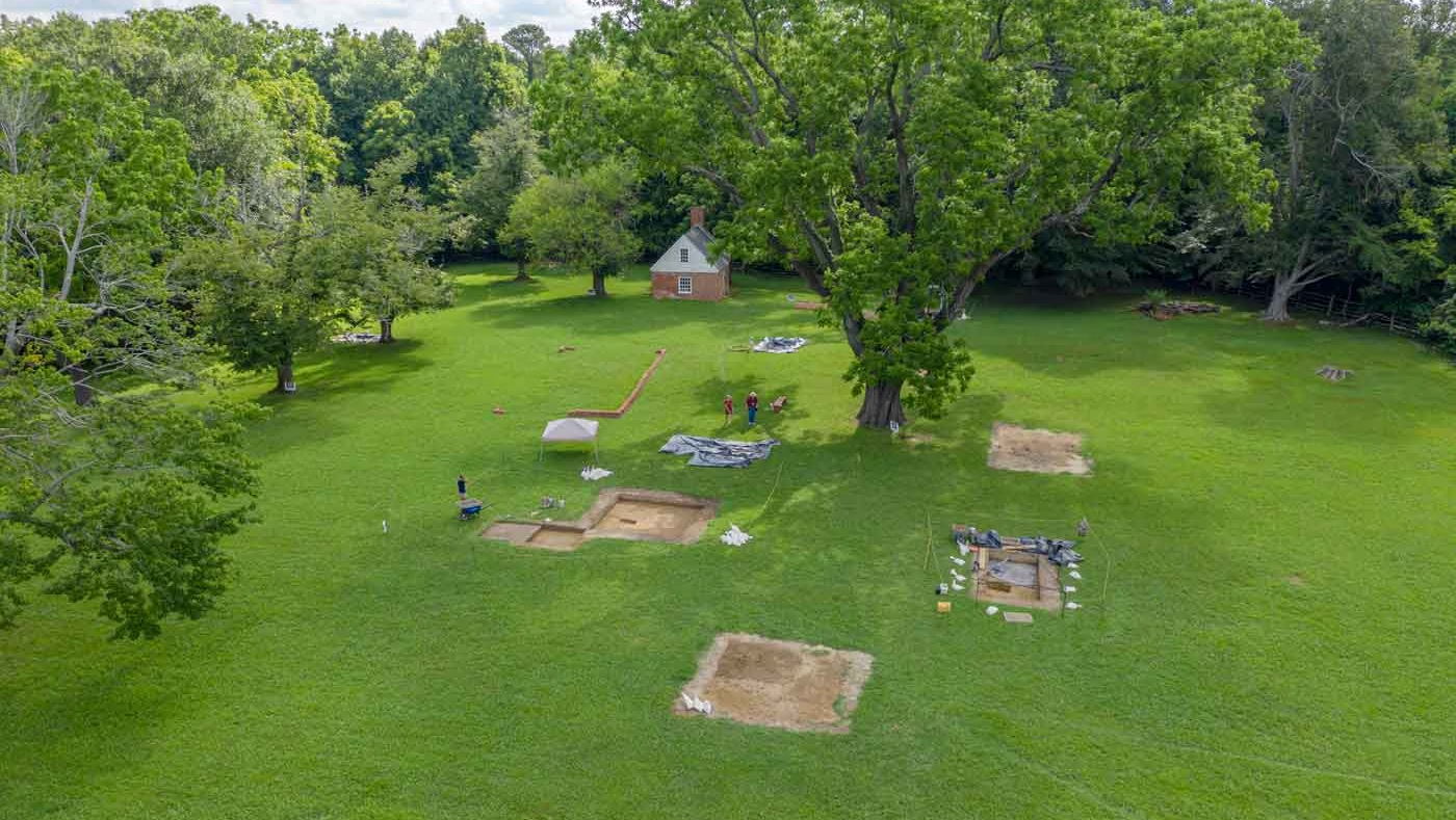
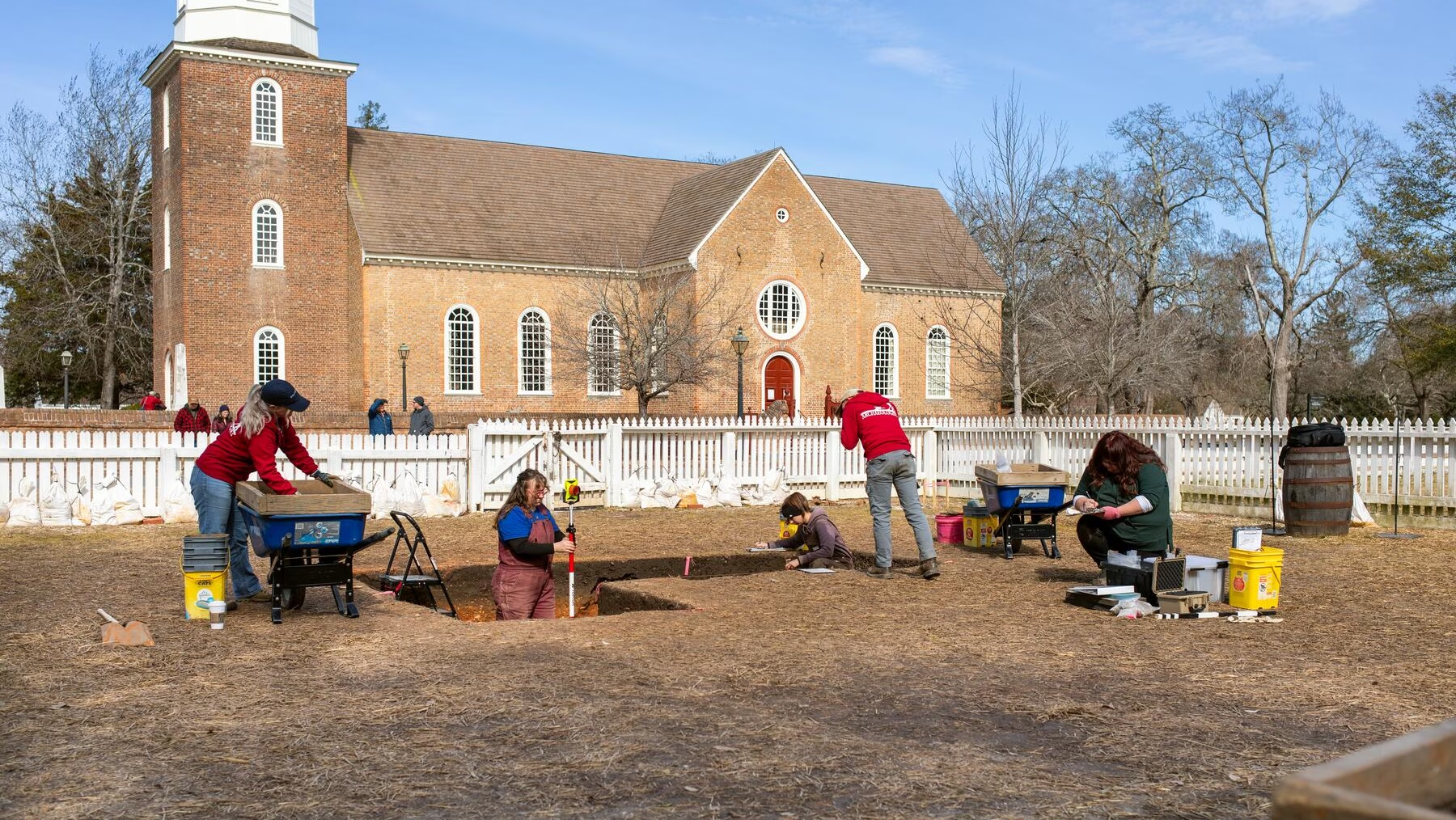
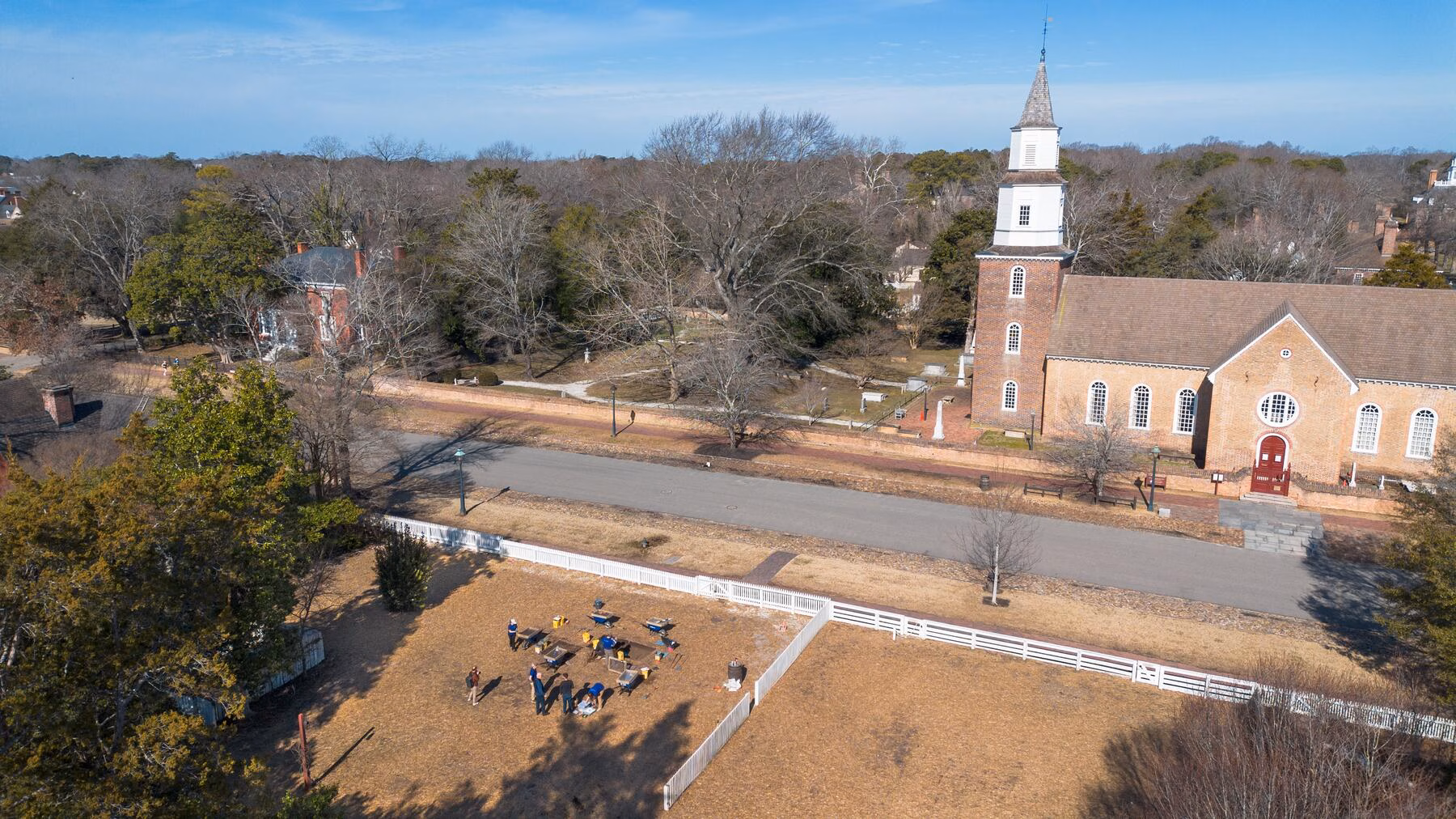
Custis Square
Our archaeologists are in the middle of a 5-year exploration of Custis Square, the 4-acre pasture across from the Art Museums where the 18th-century home and gardens of John Custis IV once stood.
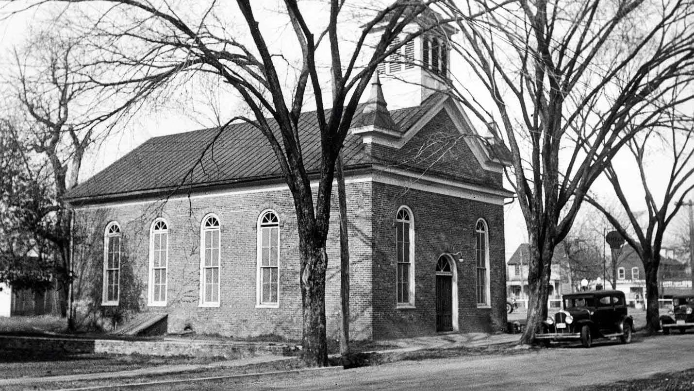
African Baptist Meeting House and Burial Ground
Colonial Williamsburg archaeologists are excavating the site of First Baptist Church, one of America’s oldest churches founded entirely by enslaved and free Black worshipers, under the guidance of the congregation.
Peter Scott House and Shop Archaeology Project
Our archaeological investigation of this site aims to reveal more about the building and its supporting structures, the work of Peter Scott, and the activities of the soldiers once quartered here.
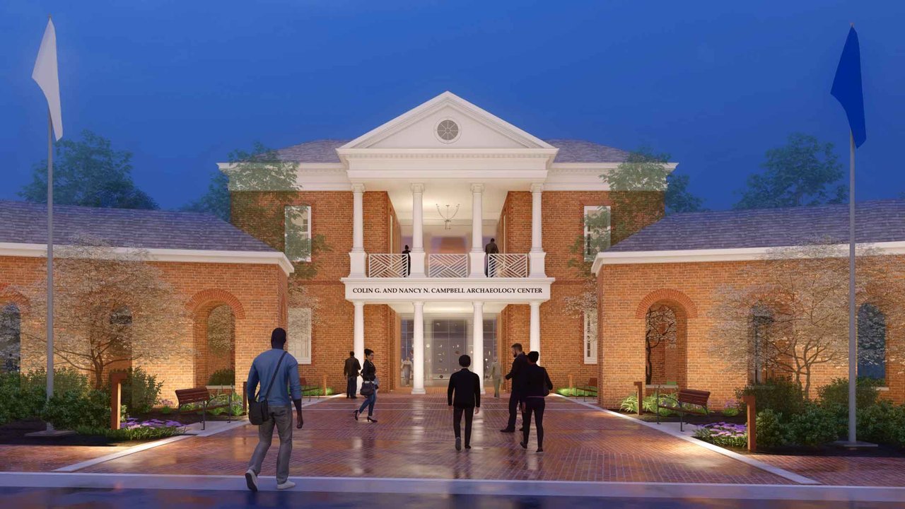
Colin G. and Nancy N. Campbell Archaeology Center
This new building will contain state of the art laboratories, modern equipment, and curated collections which will be open to visitors seven days a week.
Preservation Projects
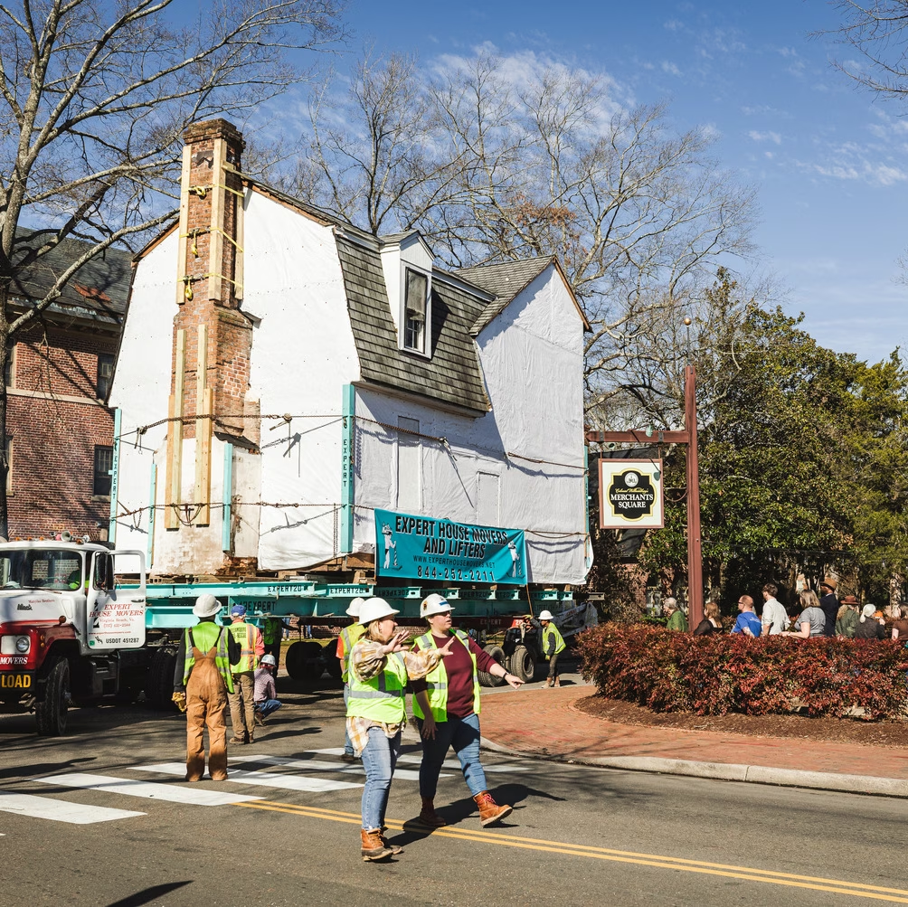
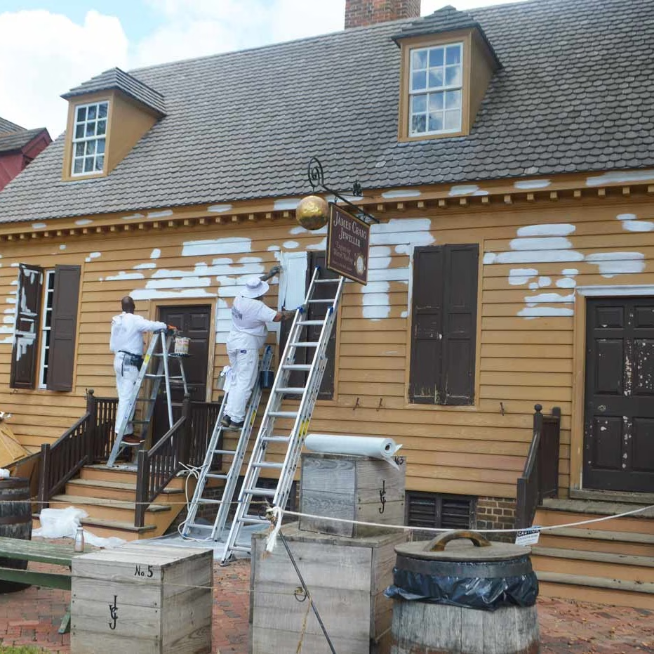
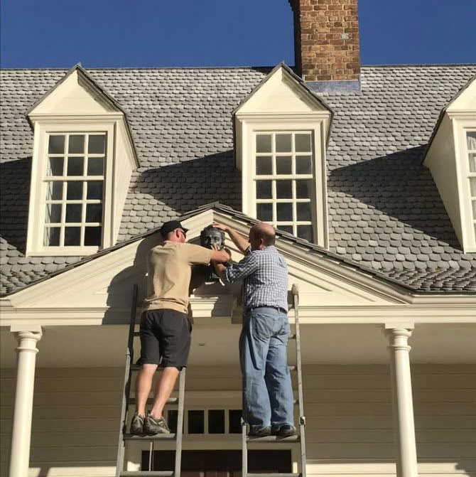
Figure 10: Matt Webster, Executive Director of Architectural Preservation and Research, and Steve Chabra, Architectural Preservation Project Supervisor, position the sculpture during installation on the Raleigh Tavern.
How do we care for buildings in the Historic Area?
Architectural preservation and research staff at Colonial Williamsburg are responsible for the care and scholarly interpretation of buildings in the Historic Area. This work includes preservation and stewardship of historic structures, design of new reconstructions, historic interiors, curation of the architectural collections, and ongoing research on the city's built and cultural environment. Below you will find some of the research projects currently underway at Colonial Williamsburg.
Ongoing Projects
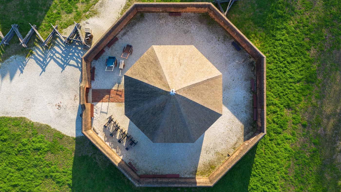
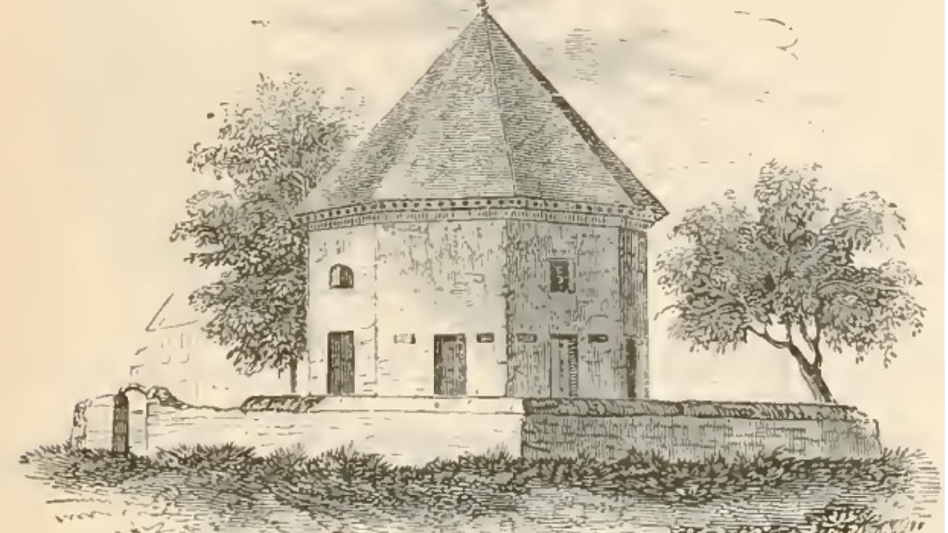
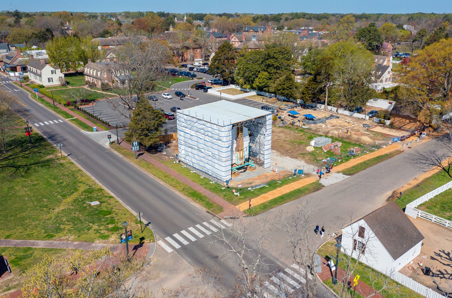
Magazine
As we approach the 250th anniversary of the Gunpowder Incident, restoration efforts aim to return the Powder Magazine to its historic 1776 appearance. Watch for ongoing changes as we work to preserve and interpret this important piece of our nation’s history.
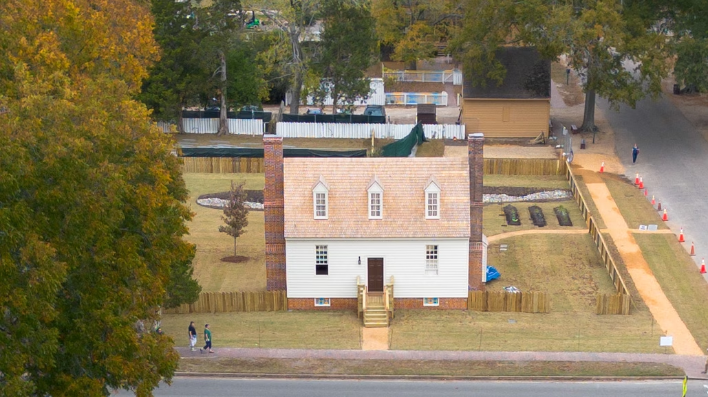
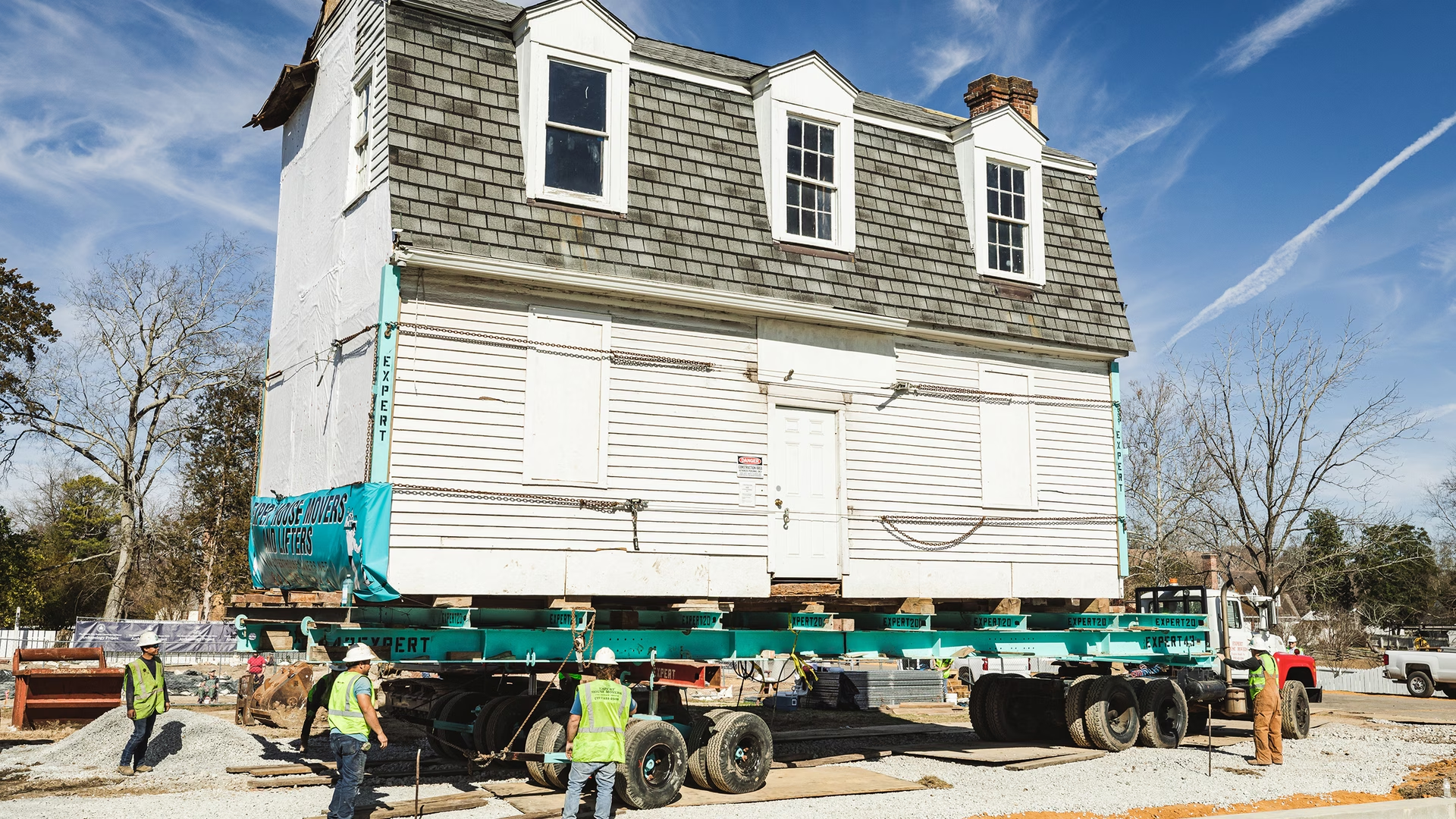
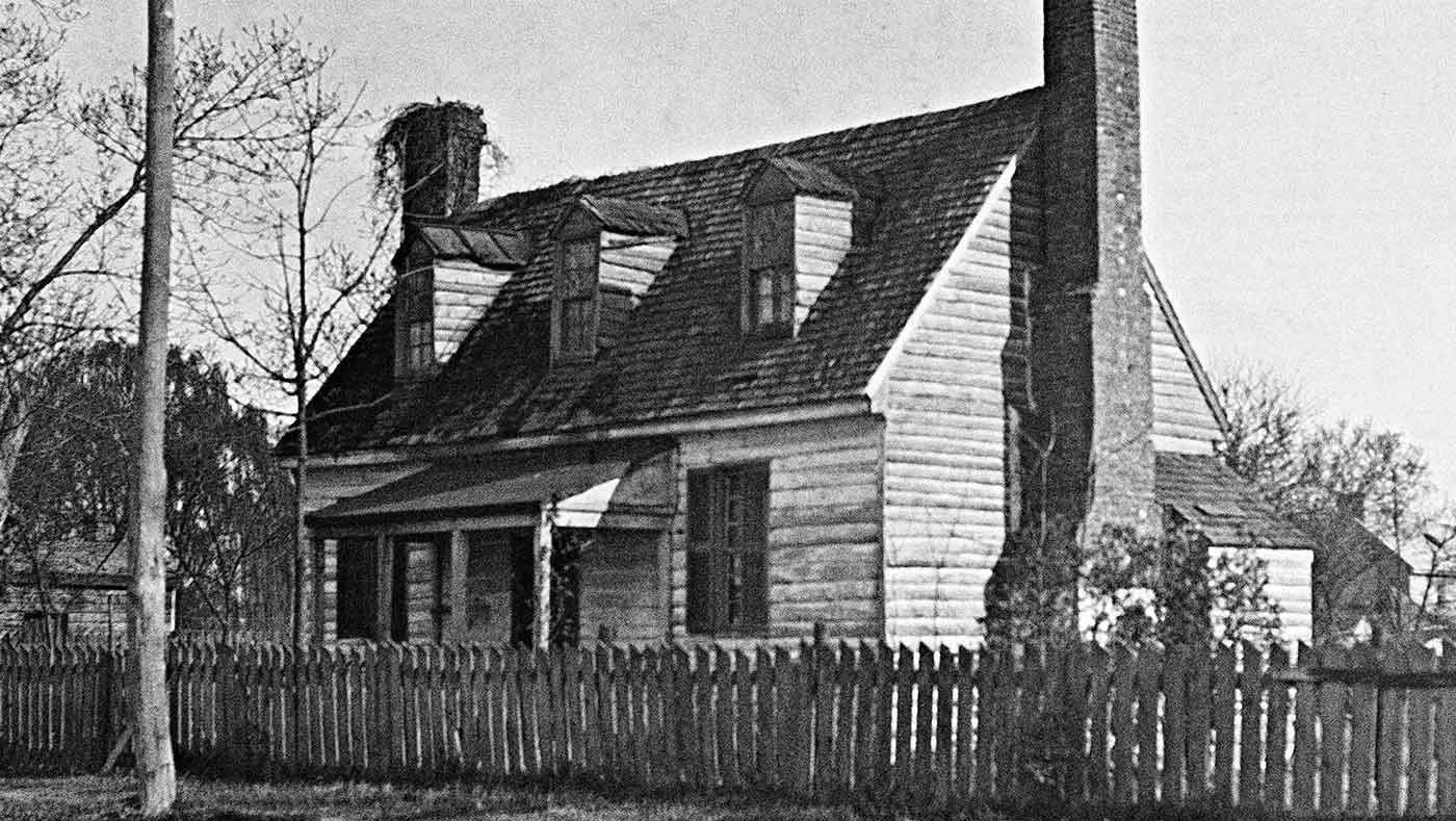
Williamsburg Bray School
The preservation department along with CW’s Building Trades and Historic Trades began restoring the building to its 1760 appearance, following its move to the Historic Area in 2023.
The Bray School is scheduled to be fully restored in Spring 2025.
